BC-1: North Route
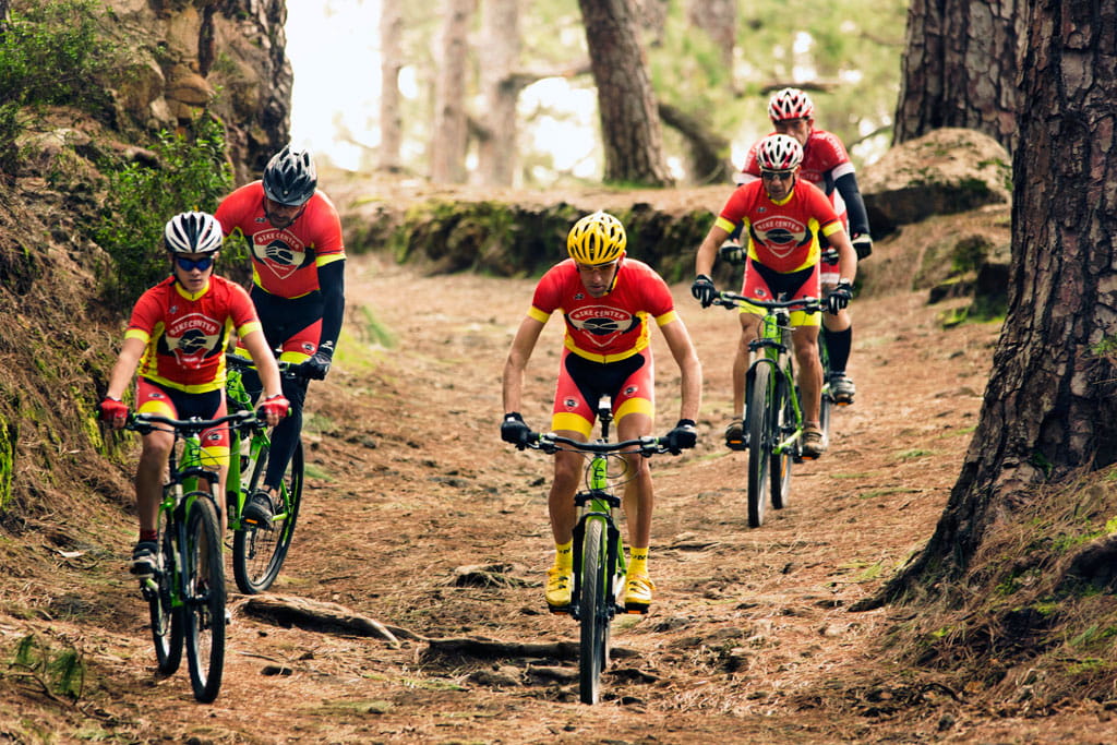
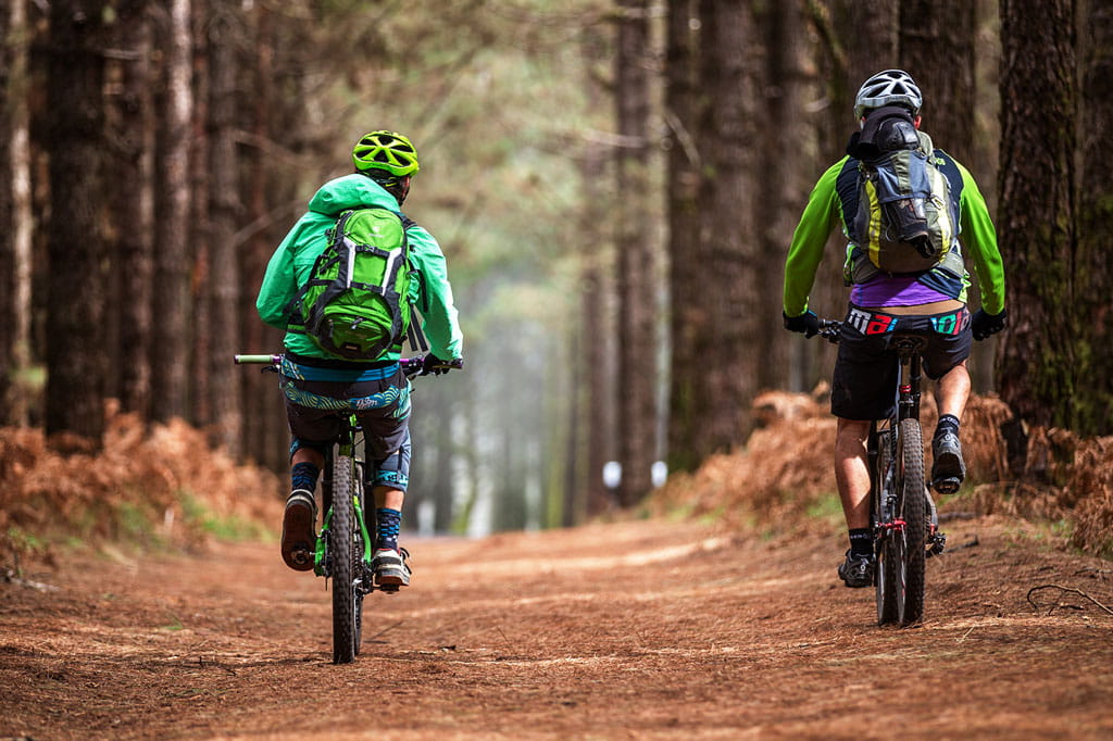
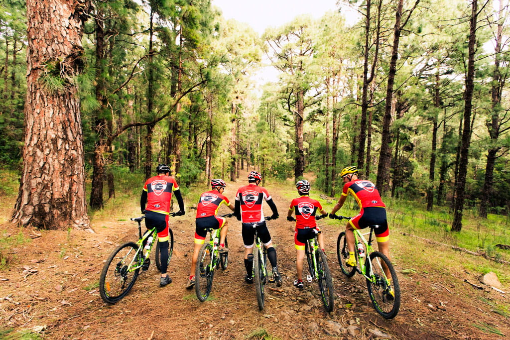
Mountain bike and horse riding routes
It has a total of 84,852 km on its main route and 53,255 km of derived routes and variants. It is the longest route on the island. You will go all along the northern face, connecting with the main infrastructures for public use in the natural forest spaces.
The route crosses 15 towns in the North and West of the island, and 6 of the main protected natural spaces.
The route starts out from Las Raíces, in Las Lagunetas. It runs over the most characteristic trails in the county of Acentejo and connects, through its derivative trails, with the rural towns of Agua García, Ravelo and Los Nateros.
You must continue through the protected landscape, and go around the Las Palomas Special Nature Reserve, crossing the high areas of the towns of La Victoria and Santa Úrsula, until you reach the Valle de La Orotava. You will go through part of the protected landscape of La Resbala, descending to the recreational area of La Caldera, in Aguamansa. Here you will find many services and you can take a break if you feel like it.
Later you will cross the Valle de La Orotava, along a trail without big slopes, until you get to the recreational area of Chanajiga. At this point, two variants will allow you to enjoy the valley connecting the recreational areas of La Caldera and Chanajiga with that of Ramón Caminero, in the high area.
The route continues through different landscapes through the high area of Los Realejos, San Juan de la Rambla, La Guancha, Icod de los Vinos, Garachico, El Tanque, Santiago del Teide and Guía de Isora. During the trip, you will be able to visit the recreational areas of La Tahona, El Lagar, Las Hayas and Arenas Negras, and also the campsite at the cliff in La Arena and the camping area in Fuente Pedro.
The route finishes at the Montaña Cascajo trail, next to island road TF-38 or, with its last derived route, in the recreational area of Arenas Negras, to the north-west of the island.
This route has a total of 13 derived routes or variants:
- BC-1.1: Lomo de la Jara
- BC-1.2: Las Calderetas
- BC-1.3: La Vica
- BC-1.4: Las Lagunetas
- BC-1.5: La Lagunetilla Chica
- BC-1.6: Ramón Caminero via Chimoche
- BC-1.7: La Orilla del Monte
- BC-1.8: Caminero via La Bermeja
- BC-1.9: Barranco de la Arena
- BC-1.9.a: Fuente Pedro
- BC-1.10: La Tahona
- BC-1.11: Las Hayas
- BC-1.12: Arenas Negras
| Route Code | Route Name | No. of km | Percentage |
|---|---|---|---|
| BC-1 | Northern Forest Route | 85,852 | 45,14% |
| BC-1.1 | Lomo de la Jara | 1,994 | 1,06% |
| BC-1.2 | Las Calderetas | 1,026 | 0,54% |
| BC-1.3 | La Vica | 1,811 | 0,96% |
| BC-1.4 | Las Lagunetas | 5,726 | 3,05% |
| BC-1.5 | La Lagunetilla Chica | 4,074 | 2,17% |
| BC-1.6 | Ramón Caminero via Chimoche | 7,981 | 4,24% |
| BC-1.7 | La Orilla del Monte | 4,358 | 2,32% |
| BC-1.8 | Ramón Caminero via La Bermeja | 8,873 | 4,72% |
| BC-1.9 | Barranco de la Arena | 3,144 | 1,67% |
| BC-1.9.a | Fuente Pedro | 0,488 | 0,24% |
| BC-1.10 | La Tahona | 0,355 | 0,19% |
| BC-1.11 | Las Hayas | 4,540 | 2,41% |
| BC-1.12 | Arenas Negras | 8,923 | 4,75% |


