03. Roques de García
Technical information
- Start: La Ruleta Lookout Point
- Finish: La Ruleta Lookout Point
- Approval status: Not officially approved
- Degree of difficulty: Low
- Type of trail: Circular
- Distance: 3.5 km (12.89 ft)
- Duration: 2 hours
- Highest altitude: 2,187 m (12.89 ft)
- Lowest altitude: 2,025 m (12.89 ft)
- Elevation gain: 211 m (12.89 ft)
- Elevation loss: 215 m (12.89 ft)
- Links to other trails:
- Protected Nature Areas:
- Authorisation required: No
Trail description
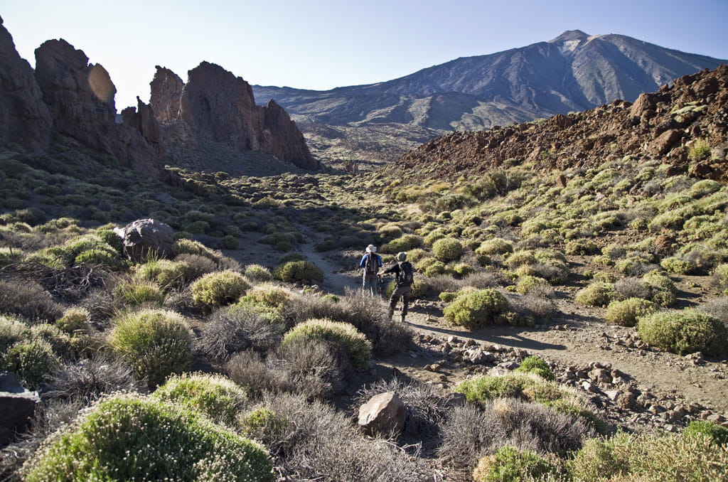
The trail borders around the Los Roques rock formations (Roque Cinchado, El Torrotito, El Burro, Roques Blancos...), which rise to the left as you walk. The path is completely flat to start with, and after passing north of Los Roques it heads down to the plain known as Llano de Ucanca, which was created by sedimentary rock. As you descend and before you reach the plain, you will see an amazing tongue of lava known as La Cascada (The Waterfall), as well as the pahoehoe tongues, which are rounded and smooth. When these flowing tongues of lava take on particularly twisted shapes, they are known as ropey pahoehoe, and there are stunning examples to be seen along the way. After walking across a short stretch of the plain, where natural volcanic walls formed by dense lava rise to the left, you will begin to climb up towards the starting point. Before you get there, you will see a spectacular pointy rock known as La Catedral (The Cathedral). This striking rock formation is in fact a volcanic phonolite chimney: an outlet through which lava once flowed, solidified and never made it to the surface, which is now exposed after years of erosion. The plantlife you will see on your walk is wonderfully varied and an accurate sample of the flora growing in Las Cañadas: brooms, laburnums, summit roses, flixweed and marguerites, as well as some cabezones (cheirolophus falcisectus) and a cedar tree at the beginning of the trail.
Hypsometry
For your own safety, don't forget to check the condition of the trail.
The competent authority will be responsible for informing you if the trail is not recommendable in the wake of adverse weather conditions, as well as if the trail or part of it is closed, etc.
- Competent authority: Teide National Park
- About the competent authority: 3. Roques de García
 In case of an emergency, call 112.
Download FRESS 112, available for iOS and Android


